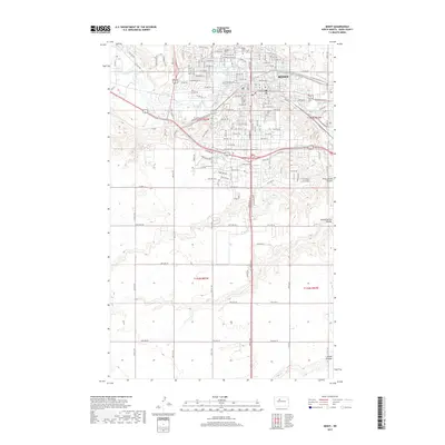
2017 Map of Minot
USGS Topo · Published 2017About this map
The Souris River meanders through the heart of Minot, anchoring a landscape defined by the city's northward expansion and its proximity to several distinct geographic coulees. This 2017 survey illustrates a significant urban footprint, where the academic grounds of Minot State Univ and established community landmarks like Rosehill Cem and Hebrew Cem sit alongside a complex grid of residential streets and major thoroughfares including Byp 83 and Bus 2. Beyond the core development, the terrain gives way to the deep natural drainage features of First Larson Coulee, Second Larson Coulee, and Kemp Coulee to the east and south. These landforms create a notable contrast to the structured township boundaries of t155n r83w and t154n r82w, revealing how the regional topography of Ward County has shaped modern infrastructure and development patterns.
Find a feature on this map
148 named features on this map. Tap any name to fly to it.
Don’t see what you’re looking for? This feature index may not catch every label — zoom into the map to look around manually.
Map Details
Editions of this 2017 Minot Map
This is the sole edition of this map. No revisions or reprints were ever made.
Other maps of this area

1928 · Minot
USGS Topo · 1:62,500

1929 · Sawyer
USGS Topo · 1:62,500

1948 · Burlington
USGS Topo · 1:24,000

1948 · Burlington
USGS Topo · 1:62,500

1948 · Minot NW
USGS Topo · 1:24,000

1948 · Surrey
USGS Topo · 1:24,000

1949 · Minot NW
USGS Topo · 1:24,000

1949 · Deering SW
USGS Topo · 1:24,000

1949 · Burlington SE
USGS Topo · 1:24,000

1949 · Surrey
USGS Topo · 1:24,000