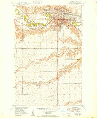
1949 Map of Minot
USGS Topo · Published 1949About this map
Minot stands as a primary hub of the northern plains in this mid-century survey, its urban grid tightly packed between the sweeping curves of the Souris River and the high ground to the south. The city's role as an educational and healthcare center is evident through the presence of the Minot State Teachers College and the Veterans Hospital. Transportation dominance is defined by the heavy infrastructure of the Great Northern and the Minneapolis St Paul and Sault Ste Marie railroads, which converge here to navigate the river valley.
Find a feature on this map
30 named features on this map. Tap any name to fly to it.
Don’t see what you’re looking for? This feature index may not catch every label — zoom into the map to look around manually.
Map Details
Editions of this 1949 Minot Map
This is the sole edition of this map. No revisions or reprints were ever made.
Other maps of this area
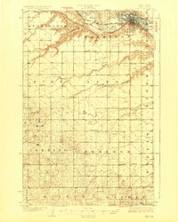
1928 · Minot
USGS Topo · 1:62,500
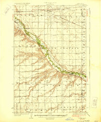
1929 · Sawyer
USGS Topo · 1:62,500
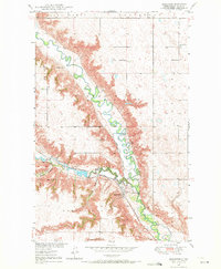
1948 · Burlington
USGS Topo · 1:24,000
1948 · Burlington
USGS Topo · 1:62,500
1948 · Minot NW
USGS Topo · 1:24,000
1948 · Surrey
USGS Topo · 1:24,000
1949 · Minot NW
USGS Topo · 1:24,000
1949 · Deering SW
USGS Topo · 1:24,000
1949 · Burlington SE
USGS Topo · 1:24,000
1949 · Surrey
USGS Topo · 1:24,000