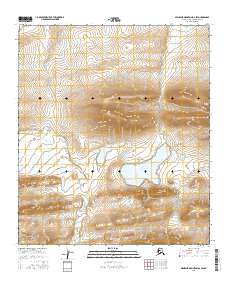
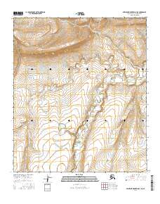
2016 Map of Misheguk Mountain D-2 SW
USGS Topo · Published 2016About this map
Nullaq Lake anchors this remote Alaskan landscape within the North Slope Borough, serving as a primary hydrologic landmark in a high-elevation basin. The surrounding terrain is defined by the braided paths of Storm Cr and Meridian Cr, which drain the northern slopes and converge toward the central lowlands. To the southeast, the headwaters of Pilly Fork flow through deep valley contours, illustrating the complex drainage patterns of the western Arctic. This 2016 survey, produced by the U.S. Geological Survey in cooperation with the Alaska Dept. of Transportation, captures the area's transition between the Misheguk Mountain ranges and the lower coastal plains. The lack of infrastructure and established roads underscores the isolation of this region, where the Public Land Survey System grids, such as t7s r34w and t7s r35w, provide the only formal human organization over the natural topography.
Find a feature on this map
10 named features on this map. Tap any name to fly to it.
Don’t see what you’re looking for? This feature index may not catch every label — zoom into the map to look around manually.
Map Details
Editions of this 2016 Misheguk Mountain D-2 SW Map
This is the sole edition of this map. No revisions or reprints were ever made.
Other maps of this area

1951 · Misheguk Mountain
USGS Topo · 1:250,000

1956 · Misheguk Mountain
USGS Topo · 1:250,000
1984 · Misheguk Mountain C-2
USGS Topo · 1:63,360
1984 · Misheguk Mountain C-3
USGS Topo · 1:63,360
1984 · Misheguk Mountain D-3
USGS Topo · 1:63,360
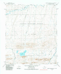
1984 · Misheguk Mountain D-2
USGS Topo · 1:63,360
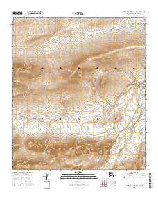
2016 · Misheguk Mountain D-2 SE
USGS Topo · 1:25,000
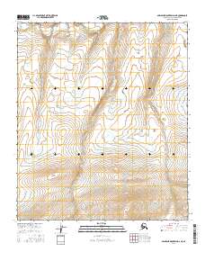
2016 · Misheguk Mountain D-2 NE
USGS Topo · 1:25,000
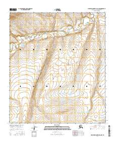
2016 · Misheguk Mountain D-2 NW
USGS Topo · 1:25,000
2016 · Misheguk Mountain D-3 NE
USGS Topo · 1:25,000