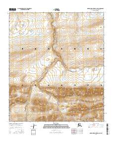
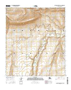
2016 Map of Misheguk Mountain D-3 SE
USGS Topo · Published 2016About this map
The Colville River flows through this remote arctic landscape in the northern Brooks Range foothills, providing a vital drainage corridor in the North Slope Borough. This 2016 survey illustrates the complex natural hydrology of the region, where tributaries like Storm Cr and Thunder Cr cut through the high-latitude terrain. The map is defined by its lack of human infrastructure, centering instead on the untouched physical geography of the Alaskan wilderness. In the northwest corner, Amo Cr feeds into the larger drainage system, showing the characteristic braiding and seasonal water patterns typical of this sub-arctic environment. For researchers of arctic geography, this sheet offers a precise view of the unaltered river systems and topographic contours of the Misheguk Mountain area before any modern developmental footprint.
Find a feature on this map
10 named features on this map. Tap any name to fly to it.
Don’t see what you’re looking for? This feature index may not catch every label — zoom into the map to look around manually.
Map Details
Editions of this 2016 Misheguk Mountain D-3 SE Map
This is the sole edition of this map. No revisions or reprints were ever made.
Other maps of this area

1951 · Misheguk Mountain
USGS Topo · 1:250,000

1956 · Misheguk Mountain
USGS Topo · 1:250,000
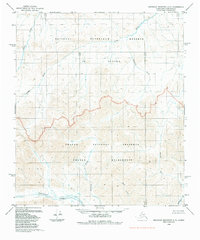
1984 · Misheguk Mountain C-2
USGS Topo · 1:63,360
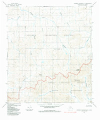
1984 · Misheguk Mountain C-3
USGS Topo · 1:63,360
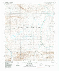
1984 · Misheguk Mountain D-3
USGS Topo · 1:63,360
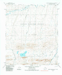
1984 · Misheguk Mountain D-2
USGS Topo · 1:63,360
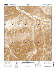
2016 · Misheguk Mountain C-3 NW
USGS Topo · 1:25,000
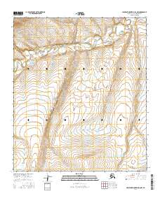
2016 · Misheguk Mountain D-2 NW
USGS Topo · 1:25,000
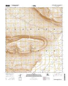
2016 · Misheguk Mountain D-3 NW
USGS Topo · 1:25,000
2016 · Misheguk Mountain D-3 NE
USGS Topo · 1:25,000