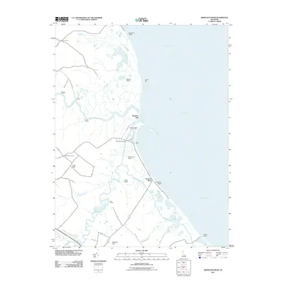
2011 Map of Mispillion River
USGS Topo · Published 2011About this map
The Delaware Bay shoreline and its intricate salt marshes dominate this 2011 survey of the Mispillion River estuary. This coastal landscape is defined by the transition from upland agricultural plots to the expansive wetlands of Slaughter Neck and Cedar Neck, where numerous landings like Maloneys Landing and Cains Landing suggest a long history of maritime access. The Mispillion Light stands as a sentinel at the mouth of the river, marking the navigation point for vessels moving inland toward Milford.
Find a feature on this map
35 named features on this map. Tap any name to fly to it.
Don’t see what you’re looking for? This feature index may not catch every label — zoom into the map to look around manually.
Map Details
Editions of this 2011 Mispillion River Map
This is the sole edition of this map. No revisions or reprints were ever made.
Other maps of this area

1890 · Maurice Cove
USGS Topo · 1:62,500

1891 · Maurice Cove
USGS Topo · 1:62,500

1899 · Vineland
USGS Topo · 1:125,000

1918 · Cedar Creek
USGS Topo · 1:62,500

1918 · Cape Henlopen
USGS Topo · 1:62,500

1919 · Cedar Creek
USGS Topo · 1:62,500

1919 · Vineland
USGS Topo · 1:125,000

1934 · Bowers
USGS Topo · 1:48,000
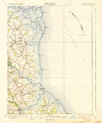
1936 · Bowers
USGS Topo · 1:62,500

1937 · Cape Henlopen
USGS Topo · 1:62,500