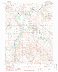
1985 Map of Moab
USGS Topo · Published 1986About this map
The Colorado River winds through high desert plateaus and deeply incised canyons in the mid-1980s, framing the northern edge of Moab Valley. This era shows the community at a crossroads of industrial history and emerging tourism. To the north, the entrance to Arches National Park and features like Morning Glory Arch or Pritchett Natural Bridge signal the landscape's natural draw, while the presence of tailings near the riverbank serves as a literal mark of the region's uranium milling legacy. The town center is detailed with local landmarks including the Cem, the Moab Substation, and public works like the Sewage Disposal Plant. Geographic markers such as The Portal and Poison Spider Mesa define the western horizon, while reliable water sources like Matrimony Spring and Kings Bottom Spring illustrate the essential points of human settlement in this arid environment.
Find a feature on this map
37 named features on this map. Tap any name to fly to it.
Don’t see what you’re looking for? This feature index may not catch every label — zoom into the map to look around manually.
Map Details
Editions of this 1985 Moab Map
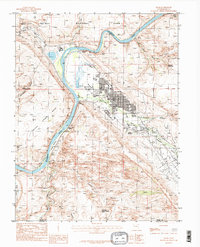
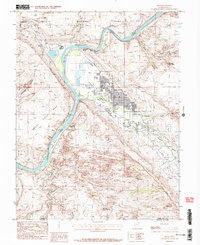
3 editions found
Other maps of this area

1885 · La Sal
USGS Topo · 1:250,000

1952 · Moab 4 NW
USGS Topo · 1:24,000

1952 · Moab 4 SW
USGS Topo · 1:24,000

1954 · Mt Peale 2 NW
USGS Topo · 1:24,000

1954 · Carlisle 1 NE
USGS Topo · 1:24,000

1954 · Carlisle 1 NW
USGS Topo · 1:24,000

1954 · Mt. Waas 3 NW
USGS Topo · 1:24,000

1954 · Mt. Waas 3 SW
USGS Topo · 1:24,000

1954 · La Sal Junction
USGS Topo · 1:62,500

1954 · Castle Valley
USGS Topo · 1:62,500