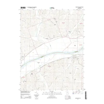
2015 Map of Mokane East
USGS Topo · Published 2015About this map
The Missouri River forms a wide, winding corridor through this section of central Missouri, dividing the landscape between Callaway and Osage counties. The river valley is defined by significant features such as Binggeli Island and Saint Aubert Island, which are flanked by several water channels including Mollie Dozier Chute and Saint Aubert Chute. North of the river, the town of Mokane and the settlement of Steedman are situated along the lower slopes, connected by the rail-trail path of the Katy Trl.
Find a feature on this map
62 named features on this map. Tap any name to fly to it.
Don’t see what you’re looking for? This feature index may not catch every label — zoom into the map to look around manually.
Map Details
Editions of this 2015 Mokane East Map
This is the sole edition of this map. No revisions or reprints were ever made.
Other maps of this area

1890 · Fulton
USGS Topo · 1:125,000

1928 · Fulton
USGS Topo · 1:62,500

1931 · Fulton
USGS Topo · 1:62,500

1935 · Morrison
USGS Topo · 1:48,000

1940 · Montgomery City
USGS Topo · 1:62,500

1942 · Montgomery City
USGS Topo · 1:62,500

1942 · Morrison
USGS Topo · 1:62,500

1945 · Mokane
USGS Topo · 1:62,500

1945 · Morrison
USGS Topo · 1:62,500

1949 · Saint Louis
USGS Topo · 1:250,000