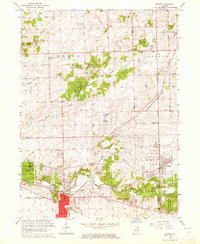
1963 Map of Mokena
USGS Topo · Published 1964About this map
Hickory Creek and Marley Creek converge within this early 1960s portrait of Will County, documenting a landscape at the threshold of suburban expansion. The concentrated development of Mokena and New Lenox is balanced by significant forest preserves like Messenger Woods and Van Horne Woods Forest Preserve. The influence of the Chicago Rock Island and Pacific railroad is evident, shaping the growth of these villages while smaller hamlets like Alpine and Gilletts remain distinct. Local history and genealogy researchers can trace numerous rural landmarks, from the Brooks Cem in the north to the St Johns Cem near the creek. The map also captures several local educational institutions of the era, including Lincoln-Way High Sch and several smaller neighborhood schools like Doctor Sch and Maue Sch, illustrating the community's mid-century infrastructure.
Find a feature on this map
98 named features on this map. Tap any name to fly to it.
Don’t see what you’re looking for? This feature index may not catch every label — zoom into the map to look around manually.
Map Details
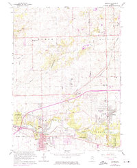
Editions of this 1963 Mokena Map
2 editions found
Other maps of this area

1890 · Des Plaines
USGS Topo · 1:62,500

1892 · Joliet
USGS Topo · 1:62,500

1892 · Wilmington
USGS Topo · 1:62,500

1894 · Des Plaines
USGS Topo · 1:62,500

1900 · Des Plaines
USGS Topo · 1:62,500

1901 · Des Plaines
USGS Topo · 1:62,500

1918 · Wilmington
USGS Topo · 1:62,500

1923 · Joliet
USGS Topo · 1:62,500

1928 · Palos Park
USGS Topo · 1:24,000

1928 · Sag Bridge
USGS Topo · 1:24,000