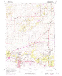
1963 Map of Mokena
USGS Topo · Published 1974About this map
Mokena and New Lenox anchor this landscape during a period of significant suburban expansion in northern Illinois, situated at the border of Cook and Will Counties. The area is a dense web of transportation history, where several major rail lines intersect, including the Chicago Rock Island and Pacific and the Norfolk and Western. These tracks weave through traditional agricultural lands and emerging residential pockets like Lincolnwood Hills and Gilletts.
Find a feature on this map
63 named features on this map. Tap any name to fly to it.
Don’t see what you’re looking for? This feature index may not catch every label — zoom into the map to look around manually.
Map Details
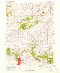
Editions of this 1963 Mokena Map
2 editions found
Other maps of this area

1890 · Des Plaines
USGS Topo · 1:62,500

1892 · Joliet
USGS Topo · 1:62,500

1892 · Wilmington
USGS Topo · 1:62,500

1894 · Des Plaines
USGS Topo · 1:62,500

1900 · Des Plaines
USGS Topo · 1:62,500

1901 · Des Plaines
USGS Topo · 1:62,500

1918 · Wilmington
USGS Topo · 1:62,500

1923 · Joliet
USGS Topo · 1:62,500

1928 · Palos Park
USGS Topo · 1:24,000

1928 · Sag Bridge
USGS Topo · 1:24,000