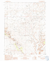
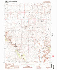
1991 Map of Mollie Hogans
USGS Topo · Published 1991About this map
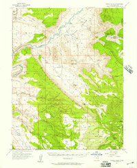
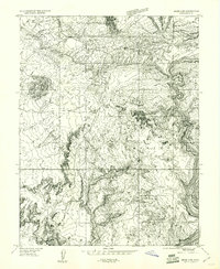
Arches National Park dominates the southern landscape of this 1991 survey, where wind and water have carved some of the area's most famous natural landmarks. The map documents the northern extent of the park, including the concentrated collection of stone spans in the Devils Garden such as Landscape Arch, Double O Arch, and Partition Arch. To the south, the intricate labyrinth of the Fiery Furnace and the Devils Garden Campground provide a detailed look at the recreational infrastructure of the late 20th century.
Find a feature on this map
56 named features on this map. Tap any name to fly to it.
Don’t see what you’re looking for? This feature index may not catch every label — zoom into the map to look around manually.
Map Details
Editions of this 1991 Mollie Hogans Map
2 editions found
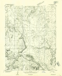
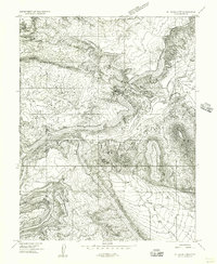
Other maps of this area

1885 · La Sal
USGS Topo · 1:250,000
1952 · Moab 4 NW
USGS Topo · 1:24,000
1954 · Mt. Waas 3 NW
USGS Topo · 1:24,000
1954 · Castle Valley
USGS Topo · 1:62,500

1956 · Moab
USGS Topo · 1:250,000
1958 · Thompson
USGS Topo · 1:62,500
1958 · Cisco
USGS Topo · 1:62,500

1959 · Moab
USGS Topo · 1:250,000
1959 · Moab
USGS Topo · 1:62,500
1959 · Moab 4 NE
USGS Topo · 1:24,000