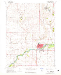
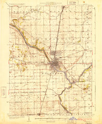
1964 Map of Momence
USGS Topo · Published 1965About this map
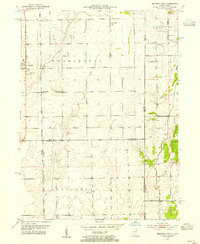
The Kankakee River winds through this mid-century landscape, defining the industrial and social character of Momence. A network of major rail lines, including the Chicago and Eastern Illinois Railroad and the Chicago Milwaukee St Paul and Pacific, intersect near the river, signaling the town's importance as a regional transportation hub. The river itself is fragmented by several named landforms such as Parish Island, Koops Island, and Eagle Island, creating a complex riparian environment that supported both heavy transit and local recreation at Mirror Lake.
Find a feature on this map
42 named features on this map. Tap any name to fly to it.
Don’t see what you’re looking for? This feature index may not catch every label — zoom into the map to look around manually.
Map Details
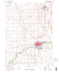
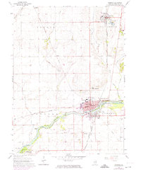
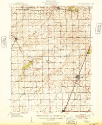
Editions of this 1964 Momence Map
3 editions found
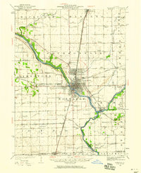
Other maps of this area

1922 · Momence
USGS Topo · 1:62,500
1922 · Kankakee
USGS Topo · 1:62,500

1924 · Momence
USGS Topo · 1:62,500
1924 · Kankakee
USGS Topo · 1:62,500
1949 · Peotone
USGS Topo · 1:62,500
1949 · Crete
USGS Topo · 1:62,500
1953 · Beecher West
USGS Topo · 1:24,000
1953 · Beecher East
USGS Topo · 1:24,000
1953 · Peotone
USGS Topo · 1:24,000

1953 · Chicago
USGS Topo · 1:250,000