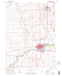
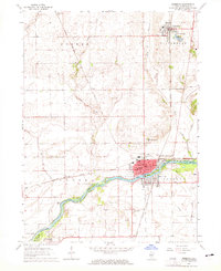
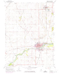
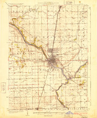
1964 Map of Momence
USGS Topo · Published 1974About this map
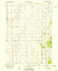
The Kankakee River winds through this Illinois landscape, defining the industrial and social character of Momence and its surrounding townships. In the mid-1960s, the river’s path was dotted with numerous islands such as Parish Island, Koops Island, and Maple Island, while the town itself was a nexus of heavy rail activity. The Chicago and Eastern Illinois and the Louisville and Nashville railroads intersect here, supporting local industry represented by nearby Sandpits and a Gravel Pit. To the north, Grant Park sits adjacent to Lake Metonga, while rural life is anchored by several long-standing institutions including St Patricks Academy and St Judes Seminary. The map also documents numerous family and parish burial sites such as Union Corner Cem and Mount Airy Cem, providing a detailed look at the cultural geography of Kankakee County before late 20th-century development.
Find a feature on this map
42 named features on this map. Tap any name to fly to it.
Don’t see what you’re looking for? This feature index may not catch every label — zoom into the map to look around manually.
Map Details
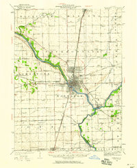
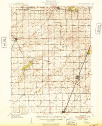
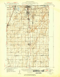
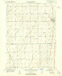
Editions of this 1964 Momence Map
3 editions found
Other maps of this area

1922 · Momence
USGS Topo · 1:62,500
1922 · Kankakee
USGS Topo · 1:62,500

1924 · Momence
USGS Topo · 1:62,500
1924 · Kankakee
USGS Topo · 1:62,500
1949 · Peotone
USGS Topo · 1:62,500
1949 · Crete
USGS Topo · 1:62,500
1953 · Beecher West
USGS Topo · 1:24,000
1953 · Beecher East
USGS Topo · 1:24,000
1953 · Peotone
USGS Topo · 1:24,000

1953 · Chicago
USGS Topo · 1:250,000