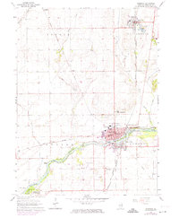
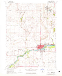
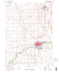
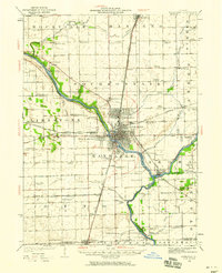
1964 Map of Momence
USGS Topo · Published 1974About this map
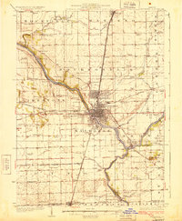
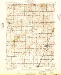
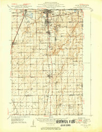
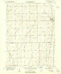
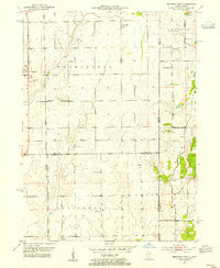
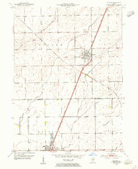
The Kankakee River winds through the heart of this landscape, its course punctuated by riverine features like Koops Island, Maple Island, and Parish Island. This mid-century survey captures a period of transition for eastern Kankakee County, where the historic river-town of Momence serves as a hub for both industry and education. The town's social fabric is visible through institutions such as St Patricks Academy and St Judes Seminary, while the surrounding agricultural lands are tied together by a complex network of rail lines, including the Chicago Milwaukee St Paul and Pacific and the Chicago and Eastern Illinois Nashville and Louisville. To the north, Grant Park sits near Lake Metonga, reflecting the early development of these prairie settlements. Evidence of local industry appears in the various sandpits and a Gravel Pit scattered across Sumner and Yellowhead townships.
Find a feature on this map
46 named features on this map. Tap any name to fly to it.
Don’t see what you’re looking for? This feature index may not catch every label — zoom into the map to look around manually.
Map Details
Editions of this 1964 Momence Map
3 editions found
Other maps of this area

1922 · Momence
USGS Topo · 1:62,500
1922 · Kankakee
USGS Topo · 1:62,500

1924 · Momence
USGS Topo · 1:62,500
1924 · Kankakee
USGS Topo · 1:62,500
1949 · Peotone
USGS Topo · 1:62,500
1949 · Crete
USGS Topo · 1:62,500
1953 · Beecher West
USGS Topo · 1:24,000
1953 · Beecher East
USGS Topo · 1:24,000
1953 · Peotone
USGS Topo · 1:24,000

1953 · Chicago
USGS Topo · 1:250,000