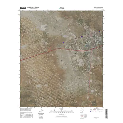
2016 Map of Monahans
USGS Topo · Published 2016About this map
Monahans serves as the focal point of this West Texas landscape, showing a dense residential grid that transitions into the adjacent community of Thorntonville. The map illustrates the town's expansion along major transportation corridors, with significant development clustered around the north-south alignment of N Main Ave and the eastern stretches of E Sealy Ave. Aviation infrastructure is central to the area's layout, anchored by the Roy Hurd Memorial Airport situated just south of the primary settlement.
Find a feature on this map
93 named features on this map. Tap any name to fly to it.
Don’t see what you’re looking for? This feature index may not catch every label — zoom into the map to look around manually.
Map Details
Editions of this 2016 Monahans Map
This is the sole edition of this map. No revisions or reprints were ever made.
Other maps of this area

1931 · Barstow
USGS Topo · 1:125,000

1954 · Pecos
USGS Topo · 1:250,000

1957 · Pecos
USGS Topo · 1:250,000

1963 · China Lake NE
USGS Topo · 1:24,000

1968 · Monahans SE
USGS Topo · 1:24,000

1968 · Cowden Place
USGS Topo · 1:24,000

1968 · China Ranch
USGS Topo · 1:24,000

1969 · Ozark Lake
USGS Topo · 1:24,000

1969 · Pyote NE
USGS Topo · 1:24,000

1969 · Pyote East
USGS Topo · 1:24,000