
1906 Map of Monhegan
USGS Topo · Published 1906About this map
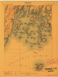
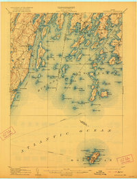
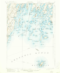
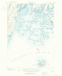
The coastal village of New Harbor and the surrounding islands of Lincoln Co and Knox Co define this maritime landscape at the beginning of the twentieth century. The map illustrates a complex network of granite points and islands, including Bremen Long Island and the isolated Monhegan Island far to the south. Maritime navigation is a central theme, with clear markings for the Steamboat Route weaving through the archipelago and a Life Saving Station (LSS) positioned near Burnt Island. On the mainland, small coastal settlements like Friendship and Port Clyde are established at the heads of protected harbors such as Friendship Harbor and Deep Cove. The map also captures several family-named landmarks and points such as Jameson Pt, Martin Pt, and Burton Pt, providing valuable data for those tracing ancestral lands in the mid-coast region. Coastal geography here is remarkably detailed, showing the intricate inlets of the Medomak River and Meduncook River.
Find a feature on this map
165 named features on this map. Tap any name to fly to it.
Don’t see what you’re looking for? This feature index may not catch every label — zoom into the map to look around manually.
Map Details
Editions of this 1906 Monhegan Map
5 editions found
Other maps of this area

1893 · Wiscasset
USGS Topo · 1:62,500

1893 · Boothbay
USGS Topo · 1:62,500

1904 · Monhegan
USGS Topo · 1:62,500

1904 · Tenants Harbor
USGS Topo · 1:62,500

1904 · Rockland
USGS Topo · 1:62,500

1906 · Tennant Harbor
USGS Topo · 1:62,500

1906 · Rockland
USGS Topo · 1:62,500

1913 · Waldoboro
USGS Topo · 1:48,000

1915 · Waldoboro
USGS Topo · 1:62,500

1941 · Rockland
USGS Topo · 1:62,500