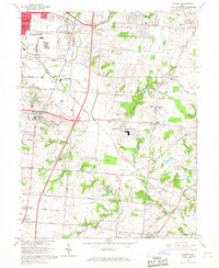
1965 Map of Monroe
USGS Topo · Published 1967About this map
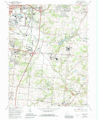
The boundary between Butler and Warren Counties defines this landscape of mid-century suburban expansion and industrial infrastructure. The sprawling Lebanon Correctional Institution stands at the center of the sheet, while the surrounding area is punctuated by historical landmarks like the Mound Cemetery and Otterbein-Shaker Cem. This era shows the early stages of the modern transportation corridor, with the Pennsylvania Railroad and major routes like the Cincinnati-Dayton Road connecting established communities such as Monroe and Bethany.
Find a feature on this map
54 named features on this map. Tap any name to fly to it.
Don’t see what you’re looking for? This feature index may not catch every label — zoom into the map to look around manually.
Map Details
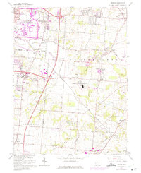
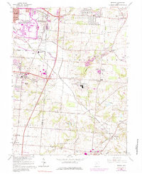
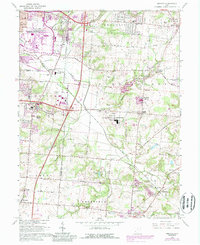
Editions of this 1965 Monroe Map
5 editions found
Other maps of this area

1904 · Mason
USGS Topo · 1:62,500

1906 · Mason
USGS Topo · 1:62,500

1908 · Miamisburg
USGS Topo · 1:62,500

1913 · Waynesville
USGS Topo · 1:62,500

1914 · Morrow
USGS Topo · 1:62,500

1915 · Waynesville
USGS Topo · 1:62,500

1916 · Morrow
USGS Topo · 1:62,500

1951 · Franklin
USGS Topo · 1:24,000

1953 · Cincinnati
USGS Topo · 1:250,000

1955 · Monroe
USGS Topo · 1:24,000