
1901 Map of Monterey
USGS Topo · Published 1905About this map
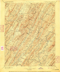
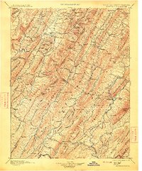
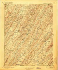
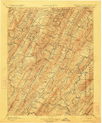
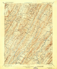
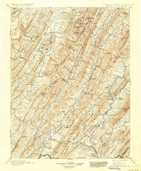
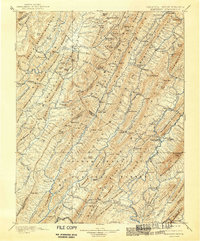
Monterey serves as a central hub in this late 19th-century reconnaissance survey of the high Allegheny ridges spanning the Virginia and West Virginia border. The landscape is defined by the sharp, parallel orientation of massive landforms like Back Mountain, Jack Mountain, and Shenandoah Mountain, which dictate the placement of small agricultural settlements and timber outposts. Isolated communities such as Crabbottom and New Hampden occupy the narrow valleys of the South Branch and Straight Fork, where the terrain allowed for early development. The mapping detail highlights the era's reliance on mountain passes and water gaps, noting specific points of commerce like Cleeks Mills and the high-altitude crossroads at Hightown. Further south and west, the drainages of the Greenbrier River and Knapp Creek reveal a network of small hamlets including Greenbank and Dunmore, providing a clear view of the settlement patterns established before the modern highway era.
Find a feature on this map
170 named features on this map. Tap any name to fly to it.
Don’t see what you’re looking for? This feature index may not catch every label — zoom into the map to look around manually.
Map Details
Editions of this 1901 Monterey Map
8 editions found
Other maps of this area

1887 · Lewisburg
USGS Topo · 1:125,000

1889 · Beverly
USGS Topo · 1:125,000

1891 · Lewisburg
USGS Topo · 1:125,000

1891 · Huntersville
USGS Topo · 1:125,000

1892 · Beverly
USGS Topo · 1:125,000

1892 · Franklin
USGS Topo · 1:125,000

1893 · Buckhannon
USGS Topo · 1:125,000

1894 · Huntersville
USGS Topo · 1:125,000

1894 · Staunton
USGS Topo · 1:125,000

1894 · Natural Bridge
USGS Topo · 1:125,000