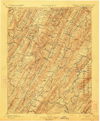
1901 Map of Monterey
USGS Topo · Published 1923About this map
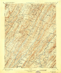
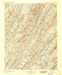
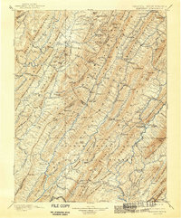
Warm Springs and the surrounding resort district in Bath County serve as a focal point for this late nineteenth-century reconnaissance, conducted when the thermal waters were established centers of tourism and society. The topography is defined by the parallel ridges of the Alleghenies, including Jack Mountain and Back Allegheny Mountain, which dictate the flow of the Jackson River and Cowpasture River. These valleys contain a network of small agricultural and crossroads settlements such as Dunmore, Cloverlick, and Williamsville.
Find a feature on this map
166 named features on this map. Tap any name to fly to it.
Don’t see what you’re looking for? This feature index may not catch every label — zoom into the map to look around manually.
Map Details
Editions of this 1901 Monterey Map
8 editions found

Other maps of this area

1887 · Lewisburg
USGS Topo · 1:125,000

1889 · Beverly
USGS Topo · 1:125,000

1891 · Lewisburg
USGS Topo · 1:125,000

1891 · Huntersville
USGS Topo · 1:125,000

1892 · Beverly
USGS Topo · 1:125,000

1892 · Franklin
USGS Topo · 1:125,000

1893 · Buckhannon
USGS Topo · 1:125,000

1894 · Huntersville
USGS Topo · 1:125,000

1894 · Staunton
USGS Topo · 1:125,000

1894 · Natural Bridge
USGS Topo · 1:125,000