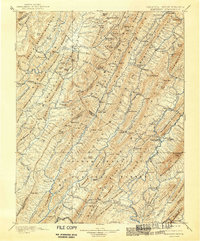
1901 Map of Monterey
USGS Topo · Published 1941About this map
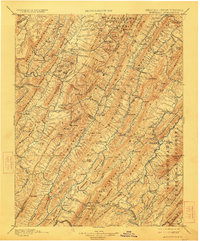
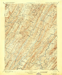
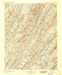
The South Branch Potomac River and the headwaters of the Jackson River carve through the parallel ridges of the Allegheny Mountains in this late 19th-century survey. The settlement at Monterey serves as a central hub for the highland communities of Crabbottom, New Hampden, and Hightown. This region, documented by Gilbert Thompson and L.C. Fletcher, is defined by its deep valley floors and soaring peaks like Sounding Knob and Bald Knob.
Find a feature on this map
172 named features on this map. Tap any name to fly to it.
Don’t see what you’re looking for? This feature index may not catch every label — zoom into the map to look around manually.
Map Details
Editions of this 1901 Monterey Map
8 editions found

Other maps of this area

1887 · Lewisburg
USGS Topo · 1:125,000

1889 · Beverly
USGS Topo · 1:125,000

1891 · Lewisburg
USGS Topo · 1:125,000

1891 · Huntersville
USGS Topo · 1:125,000

1892 · Beverly
USGS Topo · 1:125,000

1892 · Franklin
USGS Topo · 1:125,000

1893 · Buckhannon
USGS Topo · 1:125,000

1894 · Huntersville
USGS Topo · 1:125,000

1894 · Staunton
USGS Topo · 1:125,000

1894 · Natural Bridge
USGS Topo · 1:125,000