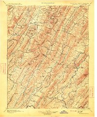
1901 Map of Monterey
USGS Topo · Published 1913About this map
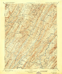
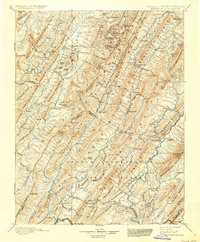
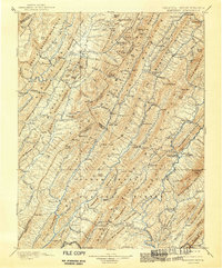
Monterey serves as a focal point in this 1880s-surveyed landscape, where the ridge-and-valley topography of Highland and Bath Counties dictates the patterns of human settlement. The map reveals a region defined by its therapeutic waters and early industry, centered on the historic resort areas of Warm Springs, Hot Springs, and Bath Alum Springs. In the rural stretches between these hubs, the economy is grounded in local landmarks like Cleeks Mills and small crossroads communities such as New Hampden and Williamsville. Transport and movement are funneled through natural breaches in the mountains, notably Vanderpool Gap. To the west, the map crosses the Boundary Line into West Virginia, tracing the rugged divide between the Jackson River and the Greenbrier River. This detailed survey captures the era before major modern development, when mountain gaps and river forks were the primary anchors for post offices and family homesteads.
Find a feature on this map
157 named features on this map. Tap any name to fly to it.
Don’t see what you’re looking for? This feature index may not catch every label — zoom into the map to look around manually.
Map Details
Editions of this 1901 Monterey Map
8 editions found

Other maps of this area

1887 · Lewisburg
USGS Topo · 1:125,000

1889 · Beverly
USGS Topo · 1:125,000

1891 · Lewisburg
USGS Topo · 1:125,000

1891 · Huntersville
USGS Topo · 1:125,000

1892 · Beverly
USGS Topo · 1:125,000

1892 · Franklin
USGS Topo · 1:125,000

1893 · Buckhannon
USGS Topo · 1:125,000

1894 · Huntersville
USGS Topo · 1:125,000

1894 · Staunton
USGS Topo · 1:125,000

1894 · Natural Bridge
USGS Topo · 1:125,000