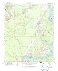
1961 Map of Monterey
USGS Topo · Published 1983About this map
Monterey serves as a central hub in this river-dominated landscape during the early 1960s, situated near the confluence of Cocodrie Lake and Black River Lake. The terrain is a complex network of bayous and islands, where the Mississippi River defines the shifting border between Louisiana and Mississippi. This period is marked by significant petroleum activity, evidenced by numerous named areas like the Lismore Landing Oil Field and the Roseland Oil Field. These oil fields are integrated into the delta landscape, interspersed with family-named cemeteries such as Scott Cem and Point Pleasant Cems. The mapping shows a transition from rail to road, with the Old Grade Railroad tracing a path through the bayous, while rural life remains anchored by local institutions like St James Ch and the High Sch at Monterey.
Find a feature on this map
74 named features on this map. Tap any name to fly to it.
Don’t see what you’re looking for? This feature index may not catch every label — zoom into the map to look around manually.
Map Details
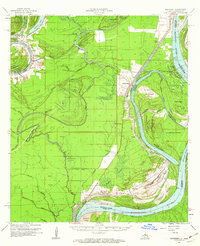
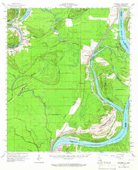
Editions of this 1961 Monterey Map
3 editions found
Other maps of this area

1909 · Sycamore Landing
USGS Topo · 1:24,000

1909 · Vidalia
USGS Topo · 1:24,000

1921 · Natchez
USGS Topo · 1:48,000

1922 · Natchez
USGS Topo · 1:62,500

1935 · Tooleys
USGS Topo · 1:62,500

1936 · Woodville
USGS Topo · 1:62,500

1939 · Red Gum
USGS Topo · 1:62,500

1939 · Natchez
USGS Topo · 1:62,500

1939 · Kingston
USGS Topo · 1:62,500

1939 · Artonish
USGS Topo · 1:62,500