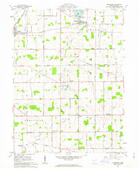
1961 Map of Montezuma
USGS Topo · Published 1963About this map
Montezuma sits at the southern edge of Grand Lake, where Montezuma Bay and Montezuma Creek define the shoreline character in this early 1960s survey. The landscape is a structured grid of agricultural land and early industrial extraction, marked by numerous Gas Wells and an Oil Well scattered throughout Butler, Franklin, Granville, and Marion townships. A strong Catholic heritage is evident through landmarks like the St Charles Seminary near Carthagena and several parish churches such as Guadalupe Ch and St Aloysius Ch. Transportation and infrastructure are anchored by the New York Chicago and St Louis Railroad in the northwest near Coldwater, while the Lakefield Airport and a Drive-in Theater reflect the mid-century era's local recreation and transit patterns.
Find a feature on this map
62 named features on this map. Tap any name to fly to it.
Don’t see what you’re looking for? This feature index may not catch every label — zoom into the map to look around manually.
Map Details
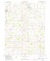
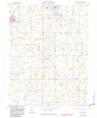
Editions of this 1961 Montezuma Map
Other maps of this area

1908 · St. Henry
USGS Topo · 1:62,500

1909 · Loramie
USGS Topo · 1:62,500

1911 · Loramie
USGS Topo · 1:62,500

1911 · Spencerville
USGS Topo · 1:62,500

1914 · Celina
USGS Topo · 1:62,500

1944 · Loramie
USGS Topo · 1:62,500

1944 · Celina
USGS Topo · 1:62,500

1944 · Spencerville
USGS Topo · 1:62,500

1953 · Muncie
USGS Topo · 1:250,000

1956 · Muncie
USGS Topo · 1:250,000