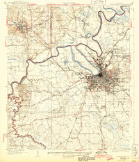
1930 Map of Montgomery
USGS Topo · Published 1944About this map
The Alabama River anchors this regional survey, winding past the state capital and the industrial hub of Prattville. In the years following the first World War, the landscape around Montgomery shows a transition from rural river-bottom agriculture to urban institutional growth. To the northwest of the city, Maxwell Aviation Field represents a significant military footprint, while the state's social history is visible through landmarks like Kilby Prison and the Masonic Home. The city's residential expansion is evident in neighborhoods like Cloverdale and Capital Heights, and education is highlighted at the Womans College of Alabama.
Find a feature on this map
94 named features on this map. Tap any name to fly to it.
Don’t see what you’re looking for? This feature index may not catch every label — zoom into the map to look around manually.
Map Details
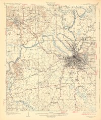
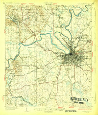
Editions of this 1930 Montgomery Map
4 editions found
Other maps of this area

1891 · Clanton
USGS Topo · 1:125,000

1901 · Wetumpka
USGS Topo · 1:125,000

1901 · Wetumpka
USGS Topo · 1:62,500

1903 · Wetumpka
USGS Topo · 1:125,000

1927 · Montgomery
USGS Topo · 1:48,000

1930 · Montgomery
USGS Topo · 1:62,500

1953 · Montgomery
USGS Topo · 1:250,000

1956 · Montgomery
USGS Topo · 1:250,000

1957 · Montgomery
USGS Topo · 1:250,000

1957 · Letohatchee
USGS Topo · 1:62,500