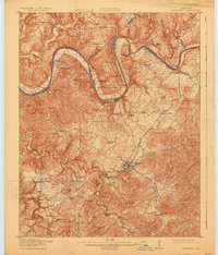
1914 Map of Monticello
USGS Topo · Published 1926About this map
Monticello serves as the central hub of this survey, which captures the river-dependent economy and complex topography of Wayne County just before the widespread modernization of the mid-20th century. The Cumberland River carves a winding path through the northern half of the sheet, its steep banks punctuated by landmarks like Shinbone Cliff and a series of vital river access points including Rankin Landing and Eads Landing. This river system supported numerous small hamlets such as Palace and Mill Springs, with the latter notable for its historical associations in the eastern portion of the map.
Find a feature on this map
98 named features on this map. Tap any name to fly to it.
Don’t see what you’re looking for? This feature index may not catch every label — zoom into the map to look around manually.
Map Details
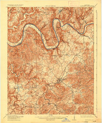
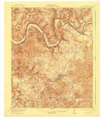
Editions of this 1914 Monticello Map
4 editions found
Other maps of this area

1911 · Monticello
USGS Topo · 1:62,500

1914 · Monticello
USGS Topo · 1:62,500

1929 · Byrdstown
USGS Topo · 1:62,500

1932 · Burnside
USGS Topo · 1:62,500

1934 · Barthell
USGS Topo · 1:62,500

1934 · Pall Mall
USGS Topo · 1:62,500

1935 · Somerset
USGS Topo · 1:62,500

1953 · Frazer
USGS Topo · 1:24,000

1953 · Parnell
USGS Topo · 1:24,000

1953 · Monticello
USGS Topo · 1:24,000