
1914 Map of Monticello
USGS Topo · Published 1914About this map
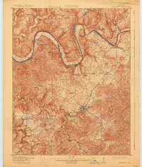
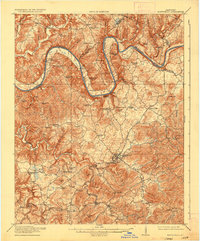
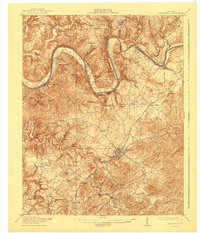
Monticello serves as the central hub of this 1914 survey, positioned at the convergence of several rural routes including the Burnside Road. The landscape is defined by the winding course of the Cumberland River, which forms several dramatic bends and is dotted with critical river access points such as Morrow Landing, Normans Landing, and Rankin Landing. These landings, along with nearby Mill Springs, highlight the river-dependent economy of Wayne County before later 20th-century developments altered these waterways.
Find a feature on this map
94 named features on this map. Tap any name to fly to it.
Don’t see what you’re looking for? This feature index may not catch every label — zoom into the map to look around manually.
Map Details
Editions of this 1914 Monticello Map
4 editions found
Other maps of this area

1911 · Monticello
USGS Topo · 1:62,500

1929 · Byrdstown
USGS Topo · 1:62,500

1932 · Burnside
USGS Topo · 1:62,500

1934 · Barthell
USGS Topo · 1:62,500

1934 · Pall Mall
USGS Topo · 1:62,500

1935 · Somerset
USGS Topo · 1:62,500

1953 · Frazer
USGS Topo · 1:24,000

1953 · Parnell
USGS Topo · 1:24,000

1953 · Monticello
USGS Topo · 1:24,000

1953 · Mill Springs
USGS Topo · 1:24,000