
1911 Map of Montpelier
USGS Topo · Published 1911About this map
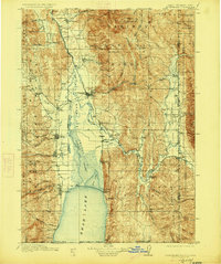
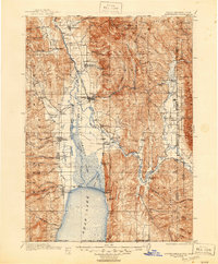
Montpelier and Paris serve as the primary hubs for the Bear Lake Valley in 1911, anchor points in a landscape defined by the Bear River and its transition into the vast Dingle Swamp. The map illustrates a critical era of agricultural and transit development, where the Oregon Short Line RR and the Telluride RR connect scattered settlements like Dingle Sta and Pescadero to larger markets. The northern reach of Bear Lake dominates the southern boundary, its shores dotted with small communities including Fish Haven and St Charles. High-elevation landmarks such as Meade Peak and Bald Mountain provide a dramatic backdrop within the Caribou National Forest and Cache National Forest, marking the intersection of the Idaho, Utah, and Wyoming borders.
Find a feature on this map
83 named features on this map. Tap any name to fly to it.
Don’t see what you’re looking for? This feature index may not catch every label — zoom into the map to look around manually.
Map Details
Editions of this 1911 Montpelier Map
3 editions found
Other maps of this area

1909 · Montpelier
USGS Topo · 1:125,000

1911 · Slug Creek
USGS Topo · 1:62,500

1912 · Randolph
USGS Topo · 1:125,000

1914 · Logan
USGS Topo · 1:125,000

1915 · Preston
USGS Topo · 1:96,000

1915 · Crow Creek
USGS Topo · 1:62,500

1916 · Logan
USGS Topo · 1:125,000

1918 · Preston
USGS Topo · 1:125,000

1921 · Afton
USGS Topo · 1:125,000

1936 · Cokeville
USGS Topo · 1:96,000