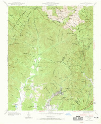
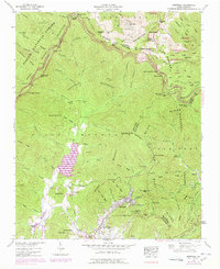
1942 Map of Montreat
USGS Topo · Published 1969About this map
Montreat serves as the focal point of this 1942 field examination, situated at the headwaters of Flat Creek where Lake Susan sits at the heart of the community. The topography is dominated by the high ridgelines of the Black Mountains, featuring significant summits like Clingmans Peak and Mt Gibbes. To the west, the Asheville Watershed and Pisgah National Forest preserve the headwaters of the North Fork Swannanoa River, a vital water source for the region.
Find a feature on this map
116 named features on this map. Tap any name to fly to it.
Don’t see what you’re looking for? This feature index may not catch every label — zoom into the map to look around manually.
Map Details
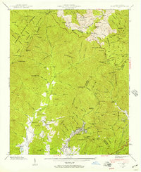
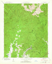
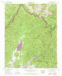
Editions of this 1942 Montreat Map
5 editions found
Other maps of this area

1900 · Mount Mitchell
USGS Topo · 1:125,000

1902 · Mount Mitchell
USGS Topo · 1:125,000

1934 · Parts Of Celo And Black Brothers
USGS Topo · 1:24,000

1934 · Parts Of Old Fort and Montreat
USGS Topo · 1:24,000

1935 · Montreat
USGS Topo · 1:24,000

1935 · Black Brothers
USGS Topo · 1:24,000

1935 · Black Mountain
USGS Topo · 1:24,000

1935 · Barnardsville
USGS Topo · 1:24,000

1935 · Craggy Pinnacle
USGS Topo · 1:24,000

1941 · Black Mountain
USGS Topo · 1:24,000