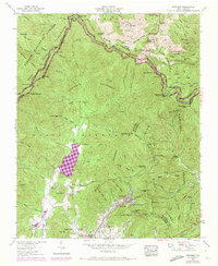
1942 Map of Montreat
USGS Topo · Published 1973About this map
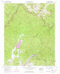
The town of Montreat sits at the foot of the Blue Ridge Parkway, serving as a gateway to the high peaks of the Black Mountains in this mid-century survey. The landscape is dominated by the extensive Asheville Watershed, which funnels into the Burnett Reservoir, a critical water source for the region. To the south, the community of Black Mountain and the campus of Black Mtn College provide a counterpoint to the wilder reaches of the Pisgah National Forest and the Mt Mitchell State Park at the northern margin.
Find a feature on this map
111 named features on this map. Tap any name to fly to it.
Don’t see what you’re looking for? This feature index may not catch every label — zoom into the map to look around manually.
Map Details
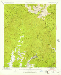
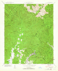
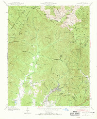
Editions of this 1942 Montreat Map
5 editions found
Other maps of this area

1900 · Mount Mitchell
USGS Topo · 1:125,000

1902 · Mount Mitchell
USGS Topo · 1:125,000

1934 · Parts Of Celo And Black Brothers
USGS Topo · 1:24,000

1934 · Parts Of Old Fort and Montreat
USGS Topo · 1:24,000

1935 · Montreat
USGS Topo · 1:24,000

1935 · Black Brothers
USGS Topo · 1:24,000

1935 · Black Mountain
USGS Topo · 1:24,000

1935 · Barnardsville
USGS Topo · 1:24,000

1935 · Craggy Pinnacle
USGS Topo · 1:24,000

1941 · Black Mountain
USGS Topo · 1:24,000