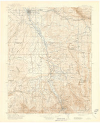
1911 Map of Montrose
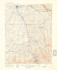
USGS Topo · Published 1941About this map
The Uncompahgre River valley serves as the primary corridor for settlement and transit at the start of the twentieth century, anchored by the regional hub of Montrose. Along the river banks, the Denver and Rio Grande RR links several small stop-points including Eldredge, Colona, and Bachelor Switch as the line moves south toward Ouray. The map captures a landscape defined by significant irrigation and mining infrastructure, notably the Cimarron Ditch and the Blaine Mine located near Whitehouse Mtn.
Find a feature on this map
87 named features on this map. Tap any name to fly to it.
Don’t see what you’re looking for? This feature index may not catch every label — zoom into the map to look around manually.
Map Details
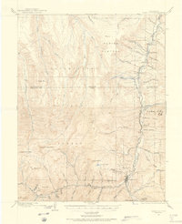
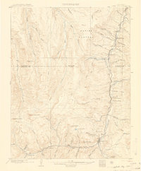
Editions of this 1911 Montrose Map
3 editions found

Other maps of this area

1897 · Telluride
USGS Topo · 1:62,500

1897 · Silverton
USGS Topo · 1:62,500

1901 · Silverton
USGS Topo · 1:62,500

1902 · Silverton
USGS Topo · 1:62,500

1902 · Ouray
USGS Topo · 1:62,500
1903 · Lake City
USGS Topo · 1:62,500

1904 · Ouray
USGS Topo · 1:62,500

1904 · Telluride
USGS Topo · 1:62,500
1905 · Lake City
USGS Topo · 1:62,500

1905 · San Cristobal
USGS Topo · 1:125,000