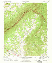
1967 Map of Montvale
USGS Topo · Published 1970About this map
The Blue Ridge crest forms a dramatic boundary between Botetourt and Bedford counties on this 1960s survey, where the Appalachian Trail and the Blue Ridge Parkway follow the high ridges. At the foot of these mountains, the Norfolk and Western railway corridor supports the community of Montvale, situated near the confluence of Day Creek and the South Fork Goose Creek. The landscape transitions from the protected timber of the Jefferson National Forest to a valley floor dotted with rural life, marked by historic congregations such as Walnut Grove Ch and St Marks Ch.
Find a feature on this map
56 named features on this map. Tap any name to fly to it.
Don’t see what you’re looking for? This feature index may not catch every label — zoom into the map to look around manually.
Map Details
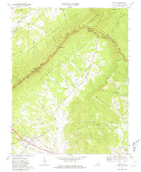
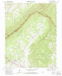
Editions of this 1967 Montvale Map
Other maps of this area

1890 · Roanoke
USGS Topo · 1:125,000

1891 · Roanoke
USGS Topo · 1:125,000

1894 · Natural Bridge
USGS Topo · 1:125,000

1894 · Natural Bridge
USGS Topo · 1:62,500

1907 · Natural Bridge Special
USGS Topo · 1:62,500

1913 · Eagle Rock
USGS Topo · 1:48,000

1915 · Eagle Rock
USGS Topo · 1:62,500

1929 · Roanoke
USGS Topo · 1:48,000

1933 · Roanoke
USGS Topo · 1:62,500

1947 · Roanoke
USGS Topo · 1:250,000