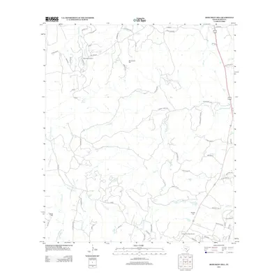
2012 Map of Monument Hill
USGS Topo · Published 2012About this map
Monument Hill and Brushy Top anchor this central Texas landscape, characterized by numerous creek drainages and private ranch lands. The terrain is defined by the headwaters and branches of Miller Creek, Flat Creek, and McCall Creek, with natural water sources like Walnut Spring and Duncan Spring scattered across the limestone country. Small private aviation facilities, including Keller Ranch Airport and Rocky Top Ranch Airport, indicate the modern ranching lifestyle and sprawling property boundaries common in this part of Blanco County. The map details an intricate network of local ranch roads and named trails, such as Diamond X Ranch Road and Bluff Ridge Trail, which follow the contours of the limestone ridges and valley floors between Martin Mountain and the surrounding hill country.
Find a feature on this map
65 named features on this map. Tap any name to fly to it.
Don’t see what you’re looking for? This feature index may not catch every label — zoom into the map to look around manually.
Map Details
Editions of this 2012 Monument Hill Map
This is the sole edition of this map. No revisions or reprints were ever made.
Other maps of this area

1887 · Blanco
USGS Topo · 1:125,000

1894 · Fredericksburg
USGS Topo · 1:125,000

1894 · Blanco
USGS Topo · 1:125,000

1954 · Llano
USGS Topo · 1:250,000

1955 · Llano
USGS Topo · 1:250,000

1956 · Llano
USGS Topo · 1:250,000

1961 · Hye
USGS Topo · 1:24,000

1961 · Rocky Creek
USGS Topo · 1:24,000
1961 · Johnson City
USGS Topo · 1:24,000

1963 · Yeager Creek
USGS Topo · 1:24,000