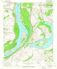
1964 Map of Moon Lake
USGS Topo · Published 1965About this map
The Mississippi River creates a dynamic border between Arkansas and Mississippi, defining a landscape of oxbow lakes and shifting silt deposits in the mid-1960s. The prominent Moon Lake dominates the eastern half of the sheet, surrounded by a dense network of local institutions that suggest a closely-knit rural society. Numerous small churches such as Jerusalem Ch and St Marks Ch dot the landscape alongside community landmarks like Bethlehem Sch and St Luke Sch.
Find a feature on this map
44 named features on this map. Tap any name to fly to it.
Don’t see what you’re looking for? This feature index may not catch every label — zoom into the map to look around manually.
Map Details
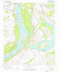
Editions of this 1964 Moon Lake Map
2 editions found
Other maps of this area

1908 · Lula
USGS Topo · 1:24,000

1908 · Dundee
USGS Topo · 1:24,000

1908 · Coahoma
USGS Topo · 1:24,000

1908 · Moon Lake
USGS Topo · 1:24,000

1908 · Jonestown
USGS Topo · 1:24,000

1910 · Dundee
USGS Topo · 1:31,680

1910 · Coahoma
USGS Topo · 1:31,680

1910 · Jonestown
USGS Topo · 1:31,680

1912 · Moon Lake
USGS Topo · 1:31,680

1912 · Lula
USGS Topo · 1:31,680