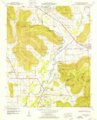
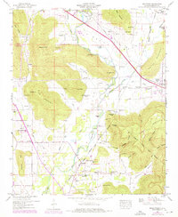
1948 Map of Moontown
USGS Topo · Published 1952About this map
Keel Mountain and Drake Mountain frame a landscape of winding watercourses and rural settlements captured just after World War II. The Flint River snakes through the center of the quadrangle, passing beneath Sublett Bluff and feeding into the local economy at Sublett Mill. This period of Alabama history is marked by a network of small, family-named landmarks and essential community centers, from the Nunn Store crossroads to the Big Cove School.
Find a feature on this map
79 named features on this map. Tap any name to fly to it.
Don’t see what you’re looking for? This feature index may not catch every label — zoom into the map to look around manually.
Map Details
Editions of this 1948 Moontown Map
5 editions found
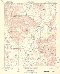
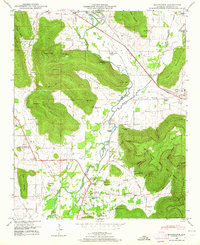
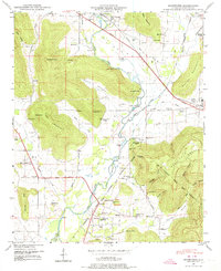
Other maps of this area

1888 · Scottsboro
USGS Topo · 1:125,000

1888 · Huntsville
USGS Topo · 1:125,000

1892 · Huntsville
USGS Topo · 1:125,000

1892 · Scottsboro
USGS Topo · 1:125,000

1936 · New Hope
USGS Topo · 1:24,000

1936 · Meridianville
USGS Topo · 1:24,000

1936 · Moontown
USGS Topo · 1:24,000

1936 · Hollytree
USGS Topo · 1:24,000

1936 · Grant
USGS Topo · 1:24,000

1936 · Maysville
USGS Topo · 1:24,000