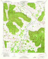
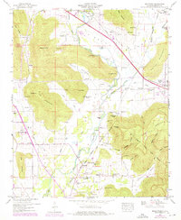
1948 Map of Moontown
USGS Topo · Published 1964About this map
The Flint River meanders through this Madison County valley, defining a landscape of agricultural lowlands and prominent highland features like Keel Mountain and Reed Mountain. During the late 1940s, the area maintained a distinct rural character, centered around small settlements like Brownsboro and Berkley. The map reveals a high concentration of family-named landmarks and infrastructure tied to the local geography, such as Sublett Mill and several river islands including Esslinger Island and Grayson Island.
Find a feature on this map
72 named features on this map. Tap any name to fly to it.
Don’t see what you’re looking for? This feature index may not catch every label — zoom into the map to look around manually.
Map Details
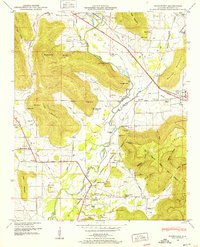
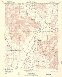
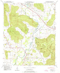
Editions of this 1948 Moontown Map
5 editions found
Other maps of this area

1888 · Scottsboro
USGS Topo · 1:125,000

1888 · Huntsville
USGS Topo · 1:125,000

1892 · Huntsville
USGS Topo · 1:125,000

1892 · Scottsboro
USGS Topo · 1:125,000

1936 · New Hope
USGS Topo · 1:24,000

1936 · Meridianville
USGS Topo · 1:24,000

1936 · Moontown
USGS Topo · 1:24,000

1936 · Hollytree
USGS Topo · 1:24,000

1936 · Grant
USGS Topo · 1:24,000

1936 · Maysville
USGS Topo · 1:24,000