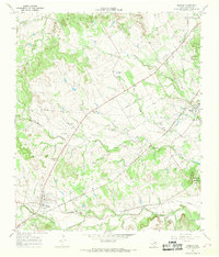
1966 Map of Morgan
USGS Topo · Published 1968About this map
The town of Morgan serves as a focal point in this mid-1960s survey of Bosque County, situated at the junction of the Atchison Topeka and Santa Fe railroad and a second abandoned rail line. The landscape is defined by the winding course of Steele Creek and the notable elevations of the Powelldale Mountains in the southeast. Smaller settlements like Kopperl are connected by a network of drainage systems, including Plowman Creek, Mesquite Creek, and Raymond Creek, reflecting the importance of water management in this Texas region.
Find a feature on this map
20 named features on this map. Tap any name to fly to it.
Don’t see what you’re looking for? This feature index may not catch every label — zoom into the map to look around manually.
Map Details
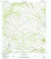
Editions of this 1966 Morgan Map
2 editions found
Other maps of this area

1888 · Meridian
USGS Topo · 1:125,000

1889 · Granbury
USGS Topo · 1:125,000

1891 · Cleburne
USGS Topo · 1:125,000

1892 · Waco
USGS Topo · 1:125,000

1894 · Meridian
USGS Topo · 1:125,000

1894 · Cleburne
USGS Topo · 1:125,000

1920 · Waco
USGS Topo · 1:125,000

1924 · Cleburne 3-B
USGS Topo · 1:48,000

1924 · Waco 2-b
USGS Topo · 1:48,000

1924 · Cleburne 3-C
USGS Topo · 1:48,000