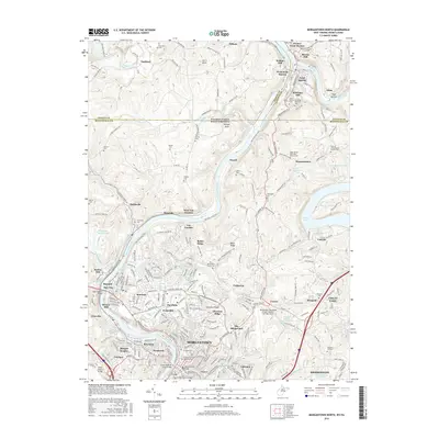
2016 Map of Morgantown North
USGS Topo · Published 2016About this map
Morgantown and the Monongahela River corridor define the landscape of this 2016 survey, which spans the Pennsylvania and West Virginia border. The map documents the extensive campus of W Virginia Univ and the northern expansion of the city into residential districts like Suncrest and The Flats. The terrain is marked by the deep incision of the Monongahela and Cheat Rivers, with the latter broadening into Cheat Lake in the eastern portion of the quadrangle.
Find a feature on this map
98 named features on this map. Tap any name to fly to it.
Don’t see what you’re looking for? This feature index may not catch every label — zoom into the map to look around manually.
Map Details
Editions of this 2016 Morgantown North Map
This is the sole edition of this map. No revisions or reprints were ever made.
Other maps of this area

1900 · Masontown
USGS Topo · 1:62,500

1901 · Waynesburg
USGS Topo · 1:62,500

1902 · Morgantown
USGS Topo · 1:62,500

1903 · Masontown
USGS Topo · 1:62,500

1904 · Blacksville
USGS Topo · 1:62,500

1904 · Waynesburg
USGS Topo · 1:62,500

1923 · Blacksville
USGS Topo · 1:62,500

1925 · Blacksville
USGS Topo · 1:62,500

1925 · Morgantown
USGS Topo · 1:62,500

1931 · Masontown
USGS Topo · 1:62,500