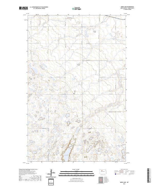
2024 Map of Mork Lake
USGS Topo · Published 2024About this map
Rolling Green Cem serves as a quiet landmark in this section of Ward County, situated in a prairie landscape defined by a complex network of wetlands and coulees. The terrain is marked by significant natural drainage features including Larsons Coulee and Gassman Coulee, which cut through the high plains toward the south and east. In the southern portion of the quadrangle, Mork Lake sits surrounded by numerous smaller, unnamed potholes, a characteristic of the regional glaciated topography. The area is organized by a strict section-line road grid, with Co Hwy 13 acting as a primary north-south artery connecting the agricultural lands. The presence of South Branch Coulee further illustrates the intricate local watershed that has shaped the placement of farmsteads and rural infrastructure for generations.
Find a feature on this map
31 named features on this map. Tap any name to fly to it.
Don’t see what you’re looking for? This feature index may not catch every label — zoom into the map to look around manually.
Map Details
Editions of this 2024 Mork Lake Map
This is the sole edition of this map. No revisions or reprints were ever made.
Other maps of this area

1928 · Minot
USGS Topo · 1:62,500

1948 · Burlington
USGS Topo · 1:24,000

1948 · Burlington
USGS Topo · 1:62,500

1948 · Minot NW
USGS Topo · 1:24,000

1949 · Minot NW
USGS Topo · 1:24,000

1950 · Des Lacs
USGS Topo · 1:24,000
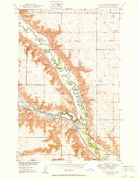
1950 · Burlington
USGS Topo · 1:24,000
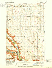
1951 · Burlington
USGS Topo · 1:62,500

1954 · Minot
USGS Topo · 1:250,000

1958 · Minot
USGS Topo · 1:250,000