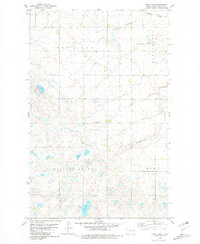
1980 Map of Mork Lake
USGS Topo · Published 1981About this map
Mork Lake anchors the southern portion of this landscape in Ward County, which was surveyed in the 1970s. The terrain transitions from the wetland-dense plains of Rolling Green to the northern reaches of the Burlington township. Local industry and infrastructure are represented by a Gravel Pit near the lake and the Burlington Northern railroad corridor, which cuts across the northeastern corner following the path of Gassman Coulee.
Find a feature on this map
9 named features on this map. Tap any name to fly to it.
Don’t see what you’re looking for? This feature index may not catch every label — zoom into the map to look around manually.
Map Details
Editions of this 1980 Mork Lake Map
This is the sole edition of this map. No revisions or reprints were ever made.
Other maps of this area

1928 · Minot
USGS Topo · 1:62,500

1948 · Burlington
USGS Topo · 1:24,000

1948 · Burlington
USGS Topo · 1:62,500

1948 · Minot NW
USGS Topo · 1:24,000

1949 · Minot NW
USGS Topo · 1:24,000

1950 · Des Lacs
USGS Topo · 1:24,000
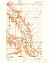
1950 · Burlington
USGS Topo · 1:24,000
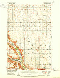
1951 · Burlington
USGS Topo · 1:62,500

1954 · Minot
USGS Topo · 1:250,000

1958 · Minot
USGS Topo · 1:250,000