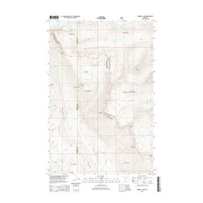
2014 Map of Morrell Lake
USGS Topo · Published 2014About this map
High mountain terrain dominates this 2014 survey of the George Lake area along the border of Missoula and Powell counties. The landscape is defined by the high elevations of the Lolo National Forest and Flathead National Forest, where the Continental Divide and rugged peaks shape the local drainage. This map captures a pristine wilderness environment, preserved within the Bob Marshall Wilderness complex, where natural features remain largely undisturbed by permanent infrastructure or settlements. Genealogists and outdoor historians can trace the intricate network of peaks and ridges that have long served as natural boundaries and landmarks for early expeditions and forest management in this part of western Montana.
Find a feature on this map
1 named feature on this map. Tap any name to fly to it.
Don’t see what you’re looking for? This feature index may not catch every label — zoom into the map to look around manually.
Map Details
Editions of this 2014 Morrell Lake Map
This is the sole edition of this map. No revisions or reprints were ever made.
Other maps of this area

1902 · Ovando
USGS Topo · 1:125,000

1905 · Ovando
USGS Topo · 1:125,000

1921 · Elbow Lake
USGS Topo · 1:125,000

1955 · Choteau
USGS Topo · 1:250,000

1957 · Choteau
USGS Topo · 1:250,000

1958 · Choteau
USGS Topo · 1:250,000

1962 · Choteau
USGS Topo · 1:250,000

1965 · Morrell Mountain
USGS Topo · 1:24,000

1965 · Holland Lake
USGS Topo · 1:24,000

1965 · Seeley Lake West
USGS Topo · 1:24,000