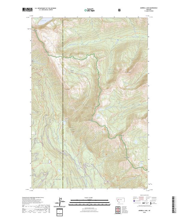
2024 Map of Morrell Lake
USGS Topo · Published 2024About this map
Bob Marshall Wilderness and Flathead National Forest land dominates this high-altitude landscape along the border of Missoula and Powell counties. The terrain is defined by a dense network of hydrologic features and steep peaks, where the headwaters of Morrell Creek and the East Fork Clearwater River originate. Significant alpine water bodies including George Lake, Morrell Lake, and Florence Lake are linked by an extensive system of established trails such as the Swan Divide Trl and Old Indian Trl. The map documents a primitive backcountry environment where prominent landmarks like Fisher Peak and Crescent Mtn rise above the drainage basins. Cultural markers are largely absent here, replaced by forest management and conservation boundaries that protect the Grizzly Basin and the striking Morrell Falls.
Find a feature on this map
47 named features on this map. Tap any name to fly to it.
Don’t see what you’re looking for? This feature index may not catch every label — zoom into the map to look around manually.
Map Details
Editions of this 2024 Morrell Lake Map
This is the sole edition of this map. No revisions or reprints were ever made.
Other maps of this area

1902 · Ovando
USGS Topo · 1:125,000

1905 · Ovando
USGS Topo · 1:125,000

1921 · Elbow Lake
USGS Topo · 1:125,000

1955 · Choteau
USGS Topo · 1:250,000

1957 · Choteau
USGS Topo · 1:250,000

1958 · Choteau
USGS Topo · 1:250,000

1962 · Choteau
USGS Topo · 1:250,000

1965 · Morrell Mountain
USGS Topo · 1:24,000

1965 · Holland Lake
USGS Topo · 1:24,000

1965 · Seeley Lake West
USGS Topo · 1:24,000