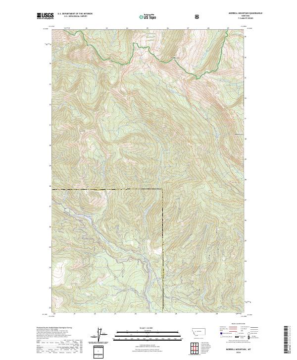
2024 Map of Morrell Mountain
USGS Topo · Published 2024About this map
The boundary between Powell and Missoula counties bisects this high-elevation landscape, where the northern peaks are protected within the Bob Marshall Wilderness and Flathead National Forest. This terrain is defined by the massive slopes of Morrell Mtn and Monture Mtn, which separate the drainages of Blind Canyon Creek and Dunham Creek.
Find a feature on this map
40 named features on this map. Tap any name to fly to it.
Don’t see what you’re looking for? This feature index may not catch every label — zoom into the map to look around manually.
Map Details
Editions of this 2024 Morrell Mountain Map
This is the sole edition of this map. No revisions or reprints were ever made.
Other maps of this area

1902 · Ovando
USGS Topo · 1:125,000

1905 · Ovando
USGS Topo · 1:125,000

1955 · Choteau
USGS Topo · 1:250,000

1957 · Choteau
USGS Topo · 1:250,000

1958 · Choteau
USGS Topo · 1:250,000

1962 · Choteau
USGS Topo · 1:250,000
1965 · Woodworth
USGS Topo · 1:24,000

1965 · Morrell Mountain
USGS Topo · 1:24,000
1965 · Seeley Lake East
USGS Topo · 1:24,000
1965 · Salmon Lake
USGS Topo · 1:24,000