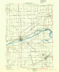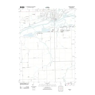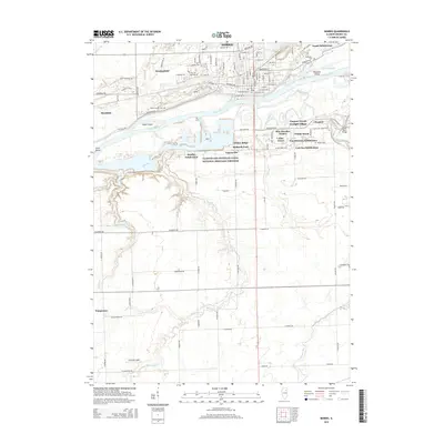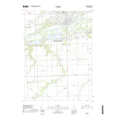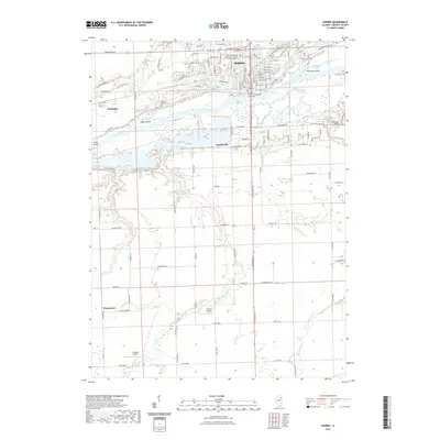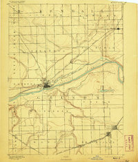
1892 Map of Morris
USGS Topo · Published 1905About this map
The Illinois River corridor dominates this late nineteenth-century landscape, serving as the central artery for transportation and industry in Grundy County. Following the northern bank, the Illinois and Michigan Canal runs parallel to the river through the heart of Morris, illustrating the importance of early water-based transit systems before the total dominance of the rails. The map captures a heavy concentration of railway infrastructure converging on the region, including the Chicago Rock Island and Pacific Railway and the Chicago and Alton Railway. These lines connect agricultural outposts like Lisbon and Minooka to industrial centers. In the southern portion of the quadrangle, the development of Coal City and the nearby settlement of Suffern highlights the region's extractive history, while natural features like Goose Lake and the meandering Mazon River define the local topography.
Find a feature on this map
38 named features on this map. Tap any name to fly to it.
Don’t see what you’re looking for? This feature index may not catch every label — zoom into the map to look around manually.
Map Details
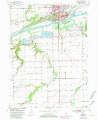
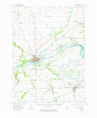
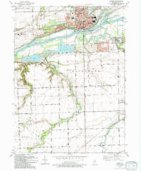
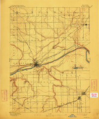
Editions of this 1892 Morris Map
3 editions found

Historical Maps of Channahon Through Time
10 maps found