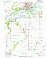
1953 Map of Morris
USGS Topo · Published 1981About this map
The industrial and civic hub of Morris anchors this landscape at the confluence of the Illinois River and the Illinois and Michigan Canal. This mid-century survey illustrates the era's reliance on both water and rail transportation, with the Chicago Rock Island and Pacific railroad threading through the heart of the city. Beyond the urban center, the map reveals a countryside dotted with rural schoolhouses like Opdyke Sch and Burleigh Sch, alongside the sprawling Strip Mine operations that shaped the local economy north of the river.
Find a feature on this map
55 named features on this map. Tap any name to fly to it.
Don’t see what you’re looking for? This feature index may not catch every label — zoom into the map to look around manually.
Map Details
Editions of this 1953 Morris Map
3 editions found
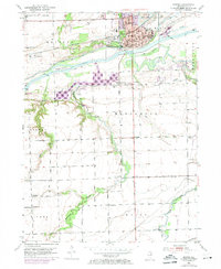
Other maps of this area

1892 · Morris
USGS Topo · 1:62,500

1892 · Marseilles
USGS Topo · 1:62,500

1916 · Marseilles
USGS Topo · 1:62,500

1918 · Morris
USGS Topo · 1:62,500

1940 · Marseilles
USGS Topo · 1:62,500

1948 · Dwight
USGS Topo · 1:62,500

1950 · Dwight
USGS Topo · 1:62,500

1953 · Morris
USGS Topo · 1:24,000

1953 · Lisbon
USGS Topo · 1:24,000

1953 · Coal City
USGS Topo · 1:24,000