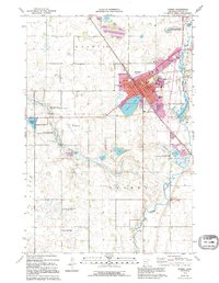
1973 Map of Morris
USGS Topo · Published 1995About this map
The city of Morris serves as the focal point of this Stevens County landscape, where the University of Minnesota at Morris campus stands alongside civic landmarks like the Courthouse and Hospital. The urban core is flanked by the Pomme de Terre River and the Pomme de Terre Reservoir to the east, while the western reaches are defined by a mosaic of wetlands and conservation areas including the Brouillet State Wildlife Management Area and Spooner Slough.
Find a feature on this map
33 named features on this map. Tap any name to fly to it.
Don’t see what you’re looking for? This feature index may not catch every label — zoom into the map to look around manually.
Map Details
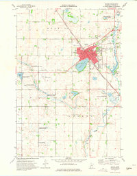
Editions of this 1973 Morris Map
2 editions found
Other maps of this area

1910 · Chokio
USGS Topo · 1:62,500

1912 · Chokio
USGS Topo · 1:62,500

1912 · Morris
USGS Topo · 1:62,500

1953 · Milbank
USGS Topo · 1:250,000

1953 · Saint Cloud
USGS Topo · 1:250,000

1957 · Saint Cloud
USGS Topo · 1:250,000

1958 · Milbank
USGS Topo · 1:250,000

1958 · Saint Cloud
USGS Topo · 1:250,000

1968 · Dry Wood Lake
USGS Topo · 1:24,000

1968 · Hancock
USGS Topo · 1:24,000