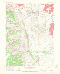
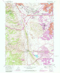
1965 Map of Morrison
USGS Topo · Published 1967About this map
Red Rocks Park and the adjacent Red Rocks Amphitheater anchor the western edge of this mid-1960s survey, illustrating the area's transition from a working landscape to one of recreation and suburban expansion. The Hogback formation creates a stark natural boundary between the foothills and the plains, where new residential developments like Green Mountain Village and Edgemont began to fill in the spaces near the historic town of Morrison.
Find a feature on this map
58 named features on this map. Tap any name to fly to it.
Don’t see what you’re looking for? This feature index may not catch every label — zoom into the map to look around manually.
Map Details
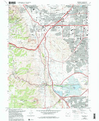
Editions of this 1965 Morrison Map
6 editions found
Other maps of this area

1899 · West Denver
USGS Topo · 1:125,000

1906 · Blackhawk
USGS Topo · 1:62,500

1938 · Morrison
USGS Topo · 1:24,000

1939 · Golden
USGS Topo · 1:24,000

1941 · Arvada
USGS Topo · 1:31,680

1941 · Fort Logan
USGS Topo · 1:31,680

1942 · Morrison
USGS Topo · 1:31,680

1942 · Golden
USGS Topo · 1:31,680

1942 · Littleton
USGS Topo · 1:31,680

1942 · Ralston Buttes
USGS Topo · 1:24,000