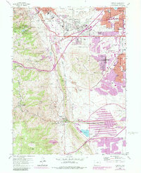
1965 Map of Morrison
USGS Topo · Published 1988About this map
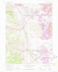
Red Rocks Park and its geological landmarks, including Ship Rock and Creation Rock, anchor this survey of the foothills west of Denver. The map documents a period of suburban expansion into Lakewood and Edgemont, contrasted with the institutional and religious sites near Golden. Key cultural landmarks like the Mother Cabrini Shrine, the Mother Cabrini Orphanage, and the School For Boys occupy the higher elevations, while the valley floors reveal an complex water system managed through the Welch Ditch and Harriman Canal. Industrial activity is evident at the Chieftain Mine and various claypits scattered along the hogback. The inclusion of Camp George West and the Falcon Castle (Ruins) reflects the diverse layers of military, recreational, and residential development shaping the region before the 1980s updates.
Find a feature on this map
105 named features on this map. Tap any name to fly to it.
Don’t see what you’re looking for? This feature index may not catch every label — zoom into the map to look around manually.
Map Details
Editions of this 1965 Morrison Map
6 editions found
Other maps of this area

1899 · West Denver
USGS Topo · 1:125,000

1906 · Blackhawk
USGS Topo · 1:62,500

1938 · Morrison
USGS Topo · 1:24,000

1939 · Golden
USGS Topo · 1:24,000

1941 · Arvada
USGS Topo · 1:31,680

1941 · Fort Logan
USGS Topo · 1:31,680

1942 · Morrison
USGS Topo · 1:31,680

1942 · Golden
USGS Topo · 1:31,680

1942 · Littleton
USGS Topo · 1:31,680

1942 · Ralston Buttes
USGS Topo · 1:24,000