
1972 Map of Morrison NE
USGS Topo · Published 1974About this map
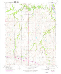
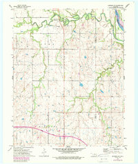
The Otoe-Missouria Indian Agency stands as a central historical landmark on this 1970s landscape, positioned near the Otoe-Missouria Cem north of the winding Rock Creek. This area, within the Otoe Missouri lands, reflects a transition from early tribal agency settlement to a modernizing infrastructure marked by the Cimarron Turnpike under construction along the southern edge. The terrain is defined by the sharp meanders of the Arkansas River in the northeast, where Beaver Island and the prominent Big Hill overlook the river valley at the boundary of Noble and Osage counties.
Find a feature on this map
19 named features on this map. Tap any name to fly to it.
Don’t see what you’re looking for? This feature index may not catch every label — zoom into the map to look around manually.
Map Details
Editions of this 1972 Morrison NE Map
3 editions found
Other maps of this area

1930 · Pawnee
USGS Topo · 1:62,500

1936 · Belford
USGS Topo · 1:62,500

1936 · Pawnee
USGS Topo · 1:62,500

1955 · Enid
USGS Topo · 1:250,000

1958 · Enid
USGS Topo · 1:250,000

1968 · Marland
USGS Topo · 1:24,000

1968 · Ponca City SE
USGS Topo · 1:24,000

1972 · Morrison
USGS Topo · 1:24,000

1972 · Red Rock
USGS Topo · 1:24,000
1972 · Black Bear
USGS Topo · 1:24,000