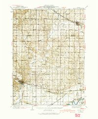
1934 Map of Morrison
USGS Topo · Published 1974About this map
Morrison serves as the focal point of this mid-1930s landscape, situated at the junction of critical rail lines and local roads. The town's proximity to French Creek and the Chicago and Northwestern RR illustrates the importance of rail-to-river logistics in Whiteside County. The surrounding townships, including Clyde, Genesee, and Hopkins, are defined by a dense network of country schoolhouses like Hiddleson Sch and Salem Sch, which were the social anchors for farming families before the consolidation of rural districts.
Find a feature on this map
77 named features on this map. Tap any name to fly to it.
Don’t see what you’re looking for? This feature index may not catch every label — zoom into the map to look around manually.
Map Details
Editions of this 1934 Morrison Map
2 editions found
Other maps of this area

1891 · Clinton
USGS Topo · 1:62,500

1892 · Savanna
USGS Topo · 1:62,500

1894 · Clinton
USGS Topo · 1:62,500

1899 · Clinton
USGS Topo · 1:125,000

1930 · Woodsung
USGS Topo · 1:48,000

1932 · Prophetstown
USGS Topo · 1:48,000

1934 · Morrison
USGS Topo · 1:48,000

1936 · Prophetstown
USGS Topo · 1:62,500

1940 · Morrison
USGS Topo · 1:62,500

1942 · Mt Carroll
USGS Topo · 1:62,500