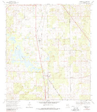
1969 Map of Morriston
USGS Topo · Published 1988About this map
The Seaboard Coast Line railroad dictates the layout of this Central Florida landscape, connecting the small communities of Montbrook and Morriston as it runs parallel to the highway. The terrain is characterized by numerous small depressions and sinkholes, with Lake Stafford serving as the most prominent water feature in the western half of the quadrangle. Local history is anchored by several small burial grounds, including Plummers Cem and Pleasant Hill Cem, while the Williston Municipal Airport occupies the northwestern corner. The map also records the boundary between Levy Co and Marion Co, tracing the division between these two counties amidst a mix of agricultural land, a Quarry, and winding Jeep Trails.
Find a feature on this map
11 named features on this map. Tap any name to fly to it.
Don’t see what you’re looking for? This feature index may not catch every label — zoom into the map to look around manually.
Map Details
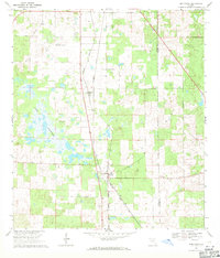
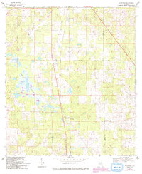
Editions of this 1969 Morriston Map
3 editions found
Other maps of this area

1892 · Dunnellon
USGS Topo · 1:62,500

1894 · Dunnellon
USGS Topo · 1:62,500

1895 · Williston
USGS Topo · 1:62,500

1954 · Romeo
USGS Topo · 1:24,000

1954 · Cotton Plant
USGS Topo · 1:24,000

1954 · Dunnellon
USGS Topo · 1:62,500

1954 · Gainesville
USGS Topo · 1:250,000

1955 · Tidewater
USGS Topo · 1:24,000

1955 · Bronson NE
USGS Topo · 1:24,000

1955 · Bronson SE
USGS Topo · 1:24,000