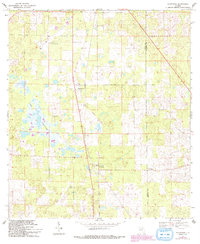
1969 Map of Morriston
USGS Topo · Published 1993About this map
Morriston and Montbrook serve as the primary nodes of activity in this rural pocket of Florida, where the landscape is defined by the Levy Co Marion Co line. The map captures a moment in the late 1960s where transportation infrastructure was in flux, evidenced by the prominent Old Railroad Grade and Old RR Grade cutting vertically through the center of the sheet. To the west, Lake Stafford sits near Plummers Cem, highlighting a region characterized by karst topography and numerous small depressions. In the northern reaches, the Williston Municipal Airport and a nearby Quarry indicate the area's industrial and logistical role for the surrounding county. Local history is further preserved through the locations of rural burying grounds, including Pleasant Hill Cem, which remains a fixture near the county boundary.
Find a feature on this map
11 named features on this map. Tap any name to fly to it.
Don’t see what you’re looking for? This feature index may not catch every label — zoom into the map to look around manually.
Map Details
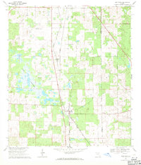
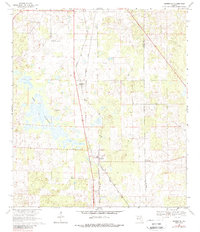
Editions of this 1969 Morriston Map
3 editions found
Other maps of this area

1892 · Dunnellon
USGS Topo · 1:62,500

1894 · Dunnellon
USGS Topo · 1:62,500

1895 · Williston
USGS Topo · 1:62,500

1954 · Romeo
USGS Topo · 1:24,000

1954 · Cotton Plant
USGS Topo · 1:24,000

1954 · Dunnellon
USGS Topo · 1:62,500

1954 · Gainesville
USGS Topo · 1:250,000

1955 · Tidewater
USGS Topo · 1:24,000

1955 · Bronson NE
USGS Topo · 1:24,000

1955 · Bronson SE
USGS Topo · 1:24,000